


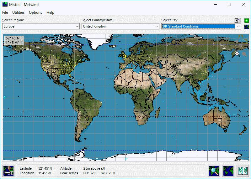
Automatically loads to program calculations solar azimuth and declination, plus sun hourly strength factors, along with actuarial climatic data at 15 minute intervals for the entire year, at any location either clicked directly on interactive maps or on country menus or retrieved from your chosen default location setting.
It would not be possible to design any computer program capable of automatically loading so much key data, essential for all accurate heat load calculations, any easier or any faster!
 How does it work?